Historical traffic flow data files for more than 2,000 Australian suburbs covering a four-year span, from 2016 to 2019, are now available to civil engineers.
Melbourne-based Intelematics has made recent traffic data accessible, giving the ability to better understand and harness traffic flow data for projects from road safety audits, to construction traffic and operation management plans, and tenders.
Instead of drawing on outdated data, civil engineers can now use current traffic statistics to determine the optimal time frame to conduct a road upgrade on a busy highway, so that the project minimises disruptions to traffic flow and mitigates the risk of road accidents. Having the flexibility to access data at any point in time also removes the need for a third-party on-site vendor, therefore enabling greater operational efficiency and reducing costs.
For example, the recently completed Hoddle Street Streamlining project was designed to improve the travel experience for 330,000 people who travel along and across Hoddle Street, in Melbourne every day. Using Intelematics’ data, a before and after analysis was performed that proved afternoon peak hour congestion has improved by 14 per cent, thanks to the upgrade.
Intelematics’ senior product manager, John Cardoso, said that the new offering provides rich traffic flow data, delivered by email through a self-service purchase.
“We believe there's a need in the market for accessible, high-resolution data that doesn't cost a fortune, or take months to plan and prepare,” said Cardoso.
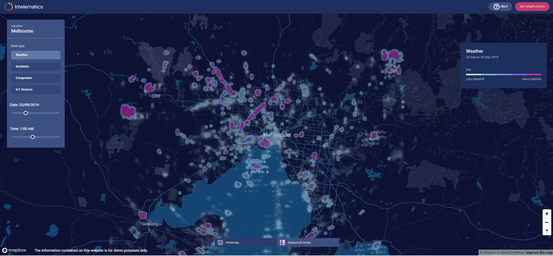
“The best part about it is, you don’t have to be a data-scientist to decipher the data. By doing the decoding for you, the data clearly shows traffic flow, speed, speed limits and delays by correlations between suburbs and street names, kilometres per hour, geographic coordinates and time of day, which can be viewed at the click of a button. We have also split the time series into a manageable size, allowing people without expert data knowledge to be able to use the data in regular business applications such as Microsoft Excel.”
In April, the service will offer consecutive month traffic flow data and historical traffic volume data showing vehicle counts in all directions across the road network in 15-minute intervals will also be available by month, year and suburb from July 2020.
“We’re able to offer such granular information as we capture data through thousands of sensors located on roads, in vehicles and infrastructure,” said Cardoso.
“The data we capture provides context around traffic trends, accident blackspots, the most congested areas, the most dangerous roads and more. We’re now making this data available to all engineers, not just those with access to data analysts and software developers.”