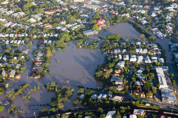
Few of us can forget the horrors and tragedy of the Queensland flood events of 2010 and 2011. However, stemming directly from those disasters has been the creation and inception of the Sunshine Coast Council’s innovative Disaster Hub, which uses unique, ground-breaking technology to revolutionise the way both councils and communities respond to disaster.
John Gallina, Co-ordinator of Disaster Management at Sunshine Coast Council, will share some of the innovations of the hub in his discussion
Disaster Hub – A New Way of Connecting With Our Community During Disasters, which will be presented at the
IPWEA International Public Works Conference, running from 20-23 August at the Perth Convention and Exhibition Centre, Western Australia.
Following the 2010-11 flood events, the Queensland Floods Commission of Inquiry handed down some 300 recommendations, including improvements to disaster management processes, disaster risk communications, awareness and education about disaster risk and improved emergency communication processes, and the
Disaster Hub has used some impressive technological innovations to achieve this.
A web-based software platform accessible on any internet-accessible device, Gallina describes the hub as “the one stop shop for all things disaster-related”.
“It taps into live feeds from different agencies, as well as our own network of resources, so we can reflect web stream bites on the amount of flooding or fire that's happening in the region,” he says.
“It also brings in all the social media feeds from things like Facebook and twitter, information broadcast from local media and the councils, the Department of Transport, warnings from the Bureau of Meteorology… there are even things like the BOM radar overlay, so if it’s a flood event, you can turn on the maps of the area you're interested in and have a look at the flood mapping, the current rainfall, the predicted rainfall 24 hours ahead, and the flood risk.”
One of Disaster Hub’s greatest innovations is centred around emergency alert warnings.
“Disaster Hub’s mapping component brings in geospatial layers of information,” Gallina explains. “We are able to draw a shape – or ‘geofence’ – around any area of interest and not only does it look for all the things that are in that space, but geospatially it looks for high risk buildings such as hospitals, nursing homes, retirement villages… It can tell you how many people live in that area, how many buildings, so we get a really quick picture of who and what is at risk.”
Gallina explains that this geofence also allows a ‘shape file’ of that area to be created instantly, an essential tool for issuing emergency alerts.
“For an emergency alert – the national system for sending warnings out to the general public via landlines and texts – you have to have a shape file loaded into a system before you can broadcast that information out.
"So for any location in Australia, Disaster Hub allows you to create that shape file instantly, which we can then send off to our state co-ordination centres to get the emergency alert out.”
Don’t miss John Gallina's presentation to find out more about Disaster Hub’s sophisticated technology and unique capabilities.
Register your attendance at the conference now!