Ray Borrie, Projects Specialist for Tararua District Council’s Strategy Department, explains how the council is using drones to fight fires and inspect facilities.
“Tararua District Council have been using drones for about a year. Three operators went through a course at Massey University to learn the rules and regulations and prove we were all competent flying the drones,” Borrie says.
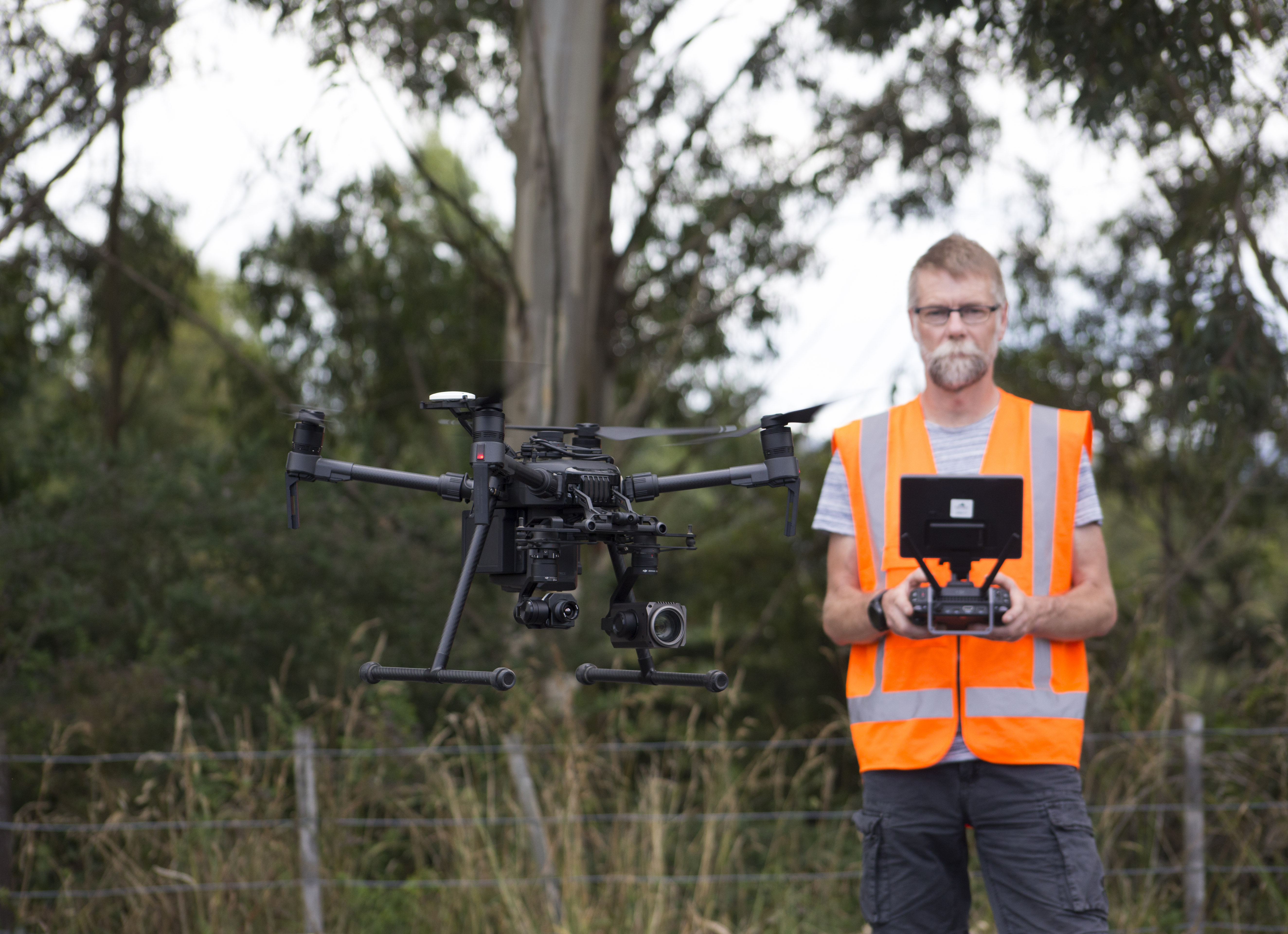
“Council has three DJI drones: the DJI Matrice 210, a DJI Inspire 1Pro and a Phantom 4. Having three drones allows our operators to work in an array of conditions and areas.
“The DJI Matrice 210 and the DJI Inspire 1Pro can be fitted with a selection of cameras such as the Zenmuse Z30, which has a 30X optical zoom. The optical zoom camera is critical for bridge inspections as it allows the operators to get close up shots of damage while standing at a distance.
“Another important camera that is used is the Flir Zenmuse XT, a thermal imaging camera. This is useful in a fire for highlighting hot spots once the main fire has been extinguished, ensuring the fire does not flare up again. This camera is also used for search and rescue during and after an event.
“The final camera is used for general mapping of our parks, cemeteries and other assets. This camera will be used to undertake roof inspections for the more than 200 council buildings in the Tararua District in the near future.
“The Phantom 4 drone is used primarily by our roading department for inspections on road drop outs, slips and to capture before and after shots of maintenance on the roads.
“The drones allow our operators to capture detailed inspections without the use of large-scale scaffolding, which can cause road closures. Prior to drones being introduced to our council, capturing images of drop outs required someone abseiling down, which could potentially become a health and safety issue.
“The drones are also used to capture images of the beautiful locations within our district, as well as events and activities council is involved in. These images are used by the marketing department to promote the Tararua District.
“Our drone operators found that doing a training course to learn all the rules and regulations was very beneficial. To adhere to these the operators always seek permission from the land owners before flying the drone – this also keeps the public informed.
“Council has a Geographic Information System (GIS) Manager who processes all the imagery to create 3D models of the sites. The operators have found this very useful as the GIS Manager can indicate the type of images that are needed for each site.”
This story was first published in the November/December inspire magazine, as part of the feature 'Destination: Planet Drone'. Read the original and more here.