Poet Dorothea Mackellar famously paid ode to the Australian outback, complete with sweeping plains, ragged mountain ranges, droughts and flooding rains.
What she neglected to mention was the difficulties of managing infrastructure in this sunburnt country. Even before you take into account the frequent natural disasters, regional Australia’s vast distances and harsh temperatures can make public works tasks expensive, time consuming and hazardous.
Nige Austin from The Institute for Drone Technology says regional councils are starting to embrace drones as an effective way to automate tasks that are characterised by the three Ds – dirty, dull and dangerous.
“In a lot of the regional areas, personnel are out on their own in potentially dangerous situations: at the side of the road checking infrastructure or some damaged rails, conducting weed control down the side of highways, or doing land management like landfill surveys. There’s a broad range of asset management tasks as well, the asset management of bridges, structures, and roads – it’s quite an enormous task,” Austin says.
“Drones present the opportunity to automate those tasks by using the drone to capture information, which removes the personnel from the risk.”
Additionally, armed with their high resolution cameras, drones have the ability to produce very high quality data, and conduct surveys in a way that is easily repeatable.
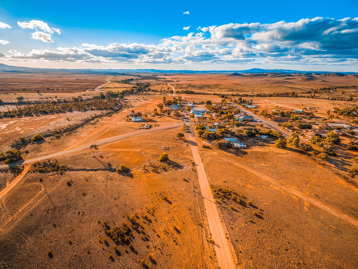
To illustrate how drones can be used to transform a typical public works task, Austin points to a major local council he spoke to that was undertaking road condition surveys the old fashioned way.
“They were getting witches hats at each end of the road, a couple of traffic controllers were stopping the traffic, and they had pavement engineers walking down the road with clipboards and gridded paper and noting the damage to the road surface,” he says.
“That’s quite subjective data, it’s not repeatable, you’ve got personnel out in the elements, and it’s very expensive. As the drone technology increases in capability, and then regulation adapts to accommodate, that’s an application that can quite easily be captured. Then there's some prototypes coming out of the UK where the drones themselves can make an can fly in and 3D print asphalt to make crack repair autonomously.
“Another example would be a regional area that’s got a large span bridge. Historically, to monitor the condition of those sort of bridges, you close the road off, put a cherry picker on the bridge and build some framework, so you’ve got people working at height potentially, and working in dangerous conditions next to roads. Now, there’s drone software that allows you to fully automate that data collection to check the bridge and asset condition and complete annual inspections.”
Though not exhaustive, here’s some of the tasks drones can take on for regional councils:
- Land management
- Road surveying
- Three dimensional mapping
- Infrastructure maintenance and management
- Pest and weed control
- Disaster and emergency management
- Asset inspections
- Compliance management
- Law enforcement
Special delivery
Thanks to drones, getting caught without the right equipment and hours away from a supplier could soon become a thing of the past.
“It’s certainly nothing that is in place at this stage, but with drone technology rapidly increasing in capabilities and complexity, very soon drone delivery as a service is going to take off and become mainstream,” Austin says.
“If somebody is working on a bridge or on a road, or a vehicle breaks down at a mine, a lot of times, if a part in a remote location needs replacing, it can be a several hour round trip, and the local service supply agent may not even have the part in stock.
“In a very short time, what we’re going to see is drone service delivery platforms where you’re going to be able to order parts online. Some of these drones have a 100km range with a 2-3kg payload, so they’ll be able to take parts out onsite, on the same day, and potentially save large amounts of downtime for infrastructure and machinery.”
Although this may seem wildly futuristic, Austin points out that smart phones didn’t exist until 2007 – now one third of people on the planet own one.
“We can see drone technology achieving the same market adoption rate that smart phones have received, and when the tech increases in capability, the applications will become more and more widespread,” he says.
Another application with real potential is the use of drones in emergency management.
“From a cost perspective you can get a drone up in the sky with a 20 megapixel camera and get some really high resolution, live-streamed images, which can assist in the assessment of unfolding disasters,” Austin explains.
In 2016, serious flooding around Forbes in NSW threatened the town’s water supply. The reservoir was cut off by floodwaters, so checking that it had not been compromised would require aerial surveillance.
Previously, this would have involved an expensive helicopter flight, but in this case Parkes Shire Council officers, with the assistance of The Institute for Drone Technology, were able to do the job more quickly and much less expensively using a drone. A small drone was quickly dispatched, and vision from its camera soon confirmed the integrity of the reservoir.
Drone strategy
However, drones are just one piece of the puzzle. Organisations that purchase a drone without first putting a strategy in place are just throwing away money, Austin says.
“We’ve seen case after case of organisations wanting to dip their toe into the drone market, and to start implementing drones into their workflow. They’ll get a couple of remote pilot licenses, and buy half a dozen drones and try and make the best of them. Typically, what happens is that a year later we’ll find the project hasn’t really gone anywhere,” he says.
“There’s a very large divide between the drone pilot and large organisation, which has frameworks, policies, standards and procedures.
“You need to have a discovery workshop, look at what tech’s available on the market, throw some ideas up on the whiteboard, and find out where drones could possibly be used now and workout a pathway to be able to get there. You need to tick all the corporate governance boxes. What are you going to do with your data? If your drone falls out of the sky and it’s got data on it for a particular application, do you have to report that loss of data to anyone?
“Once you’ve got a clear picture of where you now, and where you want to be in two years, then you can start looking at procurement strategies and training budgets and whether you’re going to have to allocate a chief pilot, which you are.
“The cost savings are significant. What we’ve found is that those cost savings haven’t been realised by a lot of organisations that have dabbled in drones, because they haven’t got a strategy in order to be able to utilise the drone technology. Most organisations don't have the technical and regulatory knowledge and competency. That’s where we can assist."
Changes to CASA regulations
Changes to drone regulations were flagged by the senate, and
agreed to by the Australian Government in late November.
The senate recommended:
"That the Australian Government introduce a mandatory registration regime for all remotely piloted aircraft systems (RPAS) weighing more than 250 grams. As part of registration requirements, RPAS operators should be required to successfully complete a basic competence test regarding the safe use of RPAS, and demonstrate an understanding of the penalties for non-compliance with the rules."
Austin says it's a big change for the industry, and that anyone that was operating in the sub-2kg excluded category is going to have to make some "pretty swift changes".