Local government professionals working in coastal areas can now allow for projected sea-level rise when developing new coastal infrastructure or estimating the likelihood of seawater flooding existing infrastructure.
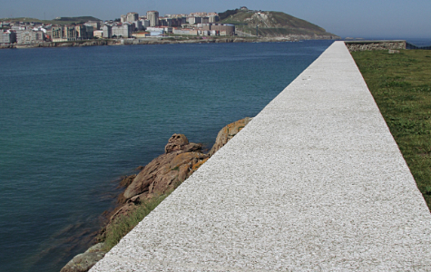
The calculator can help predict sea-level rises when planning coastal infrastructure © Miguel Saavedra
Canute is a web-based sea level rise calculator recently developed by CSIRO’s Antarctic Ecosystem Cooperative Research Centre (ACECRC) and Sven Rand of Pitt & Sherry. It can be accessed free of charge at
www.sealevelrise.info
Canute computes a statistically robust prediction of the likelihood of future flooding from the sea by combining:
• the frequency of present storm surges, which climate change is not expected to alter; and
• future sea levels, which climate change is already causing to rise.
Canute users must select from a list of the greenhouse gas emissions scenarios, but would generally select the A1FI scenario because it is the emissions scenario trajectory global emissions are tracking.
Users should also appreciate that, although Canute only estimates sea levels to 2100, sea levels will continue rising regardless for many centuries. For instance, in 2006 the German Advisory Council on Global Change projected a rise of 2.5-5.1 metres by 2300, assuming global warming is limited to 3oC.
The calculator estimates curves of still sea water level (relative to AHD) versus exceedance probability assuming no sea-level rise (based on 2000) and with sea-level rise for any future period (to 2100). It also includes a wave set-up and wave run-up calculator, whose results can be added to the appropriate still water level to estimate the maximum seawater flooding level.
The previous version of Canute only provided estimates at the 29 tide gauge locations around Australia, but the latest version includes about 12,000 data points at roughly 2.5 kilometres resolution around the whole Australian coastline. Other new features are access via a map interface and inclusion of a shoreline recession calculator. Further enhancements are programed for the coming year.
Users must read through the helpful online instructions and correctly answer a set of questions to demonstrate their understanding before being authorised to access the calculator. Allow several hours for this.
Please contact Dr Stephen Lees, the IPWEA’s National Director Sustainability at
stephen.lees@ipwea.org.au for assistance if you have any difficulties.